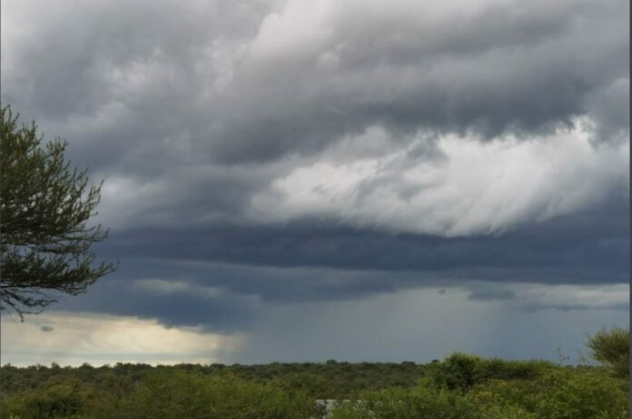
The South African Weather Services (SAWS) has issued a warning about significant storms over the weekend and early next week.
This comes after the damaging coastal storm surge and strong winds in the past week.
On Thursday, the SAWS released a statement saying a cut-off low-pressure system is expected to develop along the west coast of South Africa from Saturday night.
Cut-off lows are ill-famed for causing widespread severe weather such as heavy rainfall and severe thunderstorms.
“Widespread showers and thundershowers can be expected across western, central and southern South Africa, particularly from Sunday onwards.
“However, notable uncertainty exists regarding the position and spatial distribution of the cut-off low at this current time, and further analysis will be required,” it said in the statement.
The cut-off low will rapidly intensify by Sunday as it gets displaced northwards, which may result in flooding and snowfall.
The warning comes after vehicles were swept away and houses washed into the ocean by the rough waves that battered the Gordons Bay area in the Western Cape.
“It is expected to enter the country’s western interior, where it will result in widespread thundershowers and rain over parts of the Western Cape, Northern Cape, Eastern Cape, and southern Free State.
“The Western Cape, Northern Cape, and western areas of the Eastern Cape may experience severe thunderstorms where bursts of intense rainfall may cause flash flooding.
“Strong to gale-force winds and very rough seas of four to six metres are expected along the coastal areas, particularly along the Western Cape and Eastern Cape coast on Sunday and Monday.”
The cut-off low is expected to subside on Tuesday and provinces including Mpumalanga and Limpopo are spared from it as they will experience very hot weather conditions.
Follow @SundayWorldZA on Twitter and @sundayworldza on Instagram, or like our Facebook Page, Sunday World, by clicking here for the latest breaking news in South Africa.


