
El Nino is expected to intensify further before reaching its peak in December and could become one of the strongest such events since at least 1950, the United Nations weather agency said on Thursday.
The World Meteorological Organization (WMO) said the phenomenon would likely bring above-average temperatures to much of the world and alter rainfall patterns, raising the risk of droughts and floods in different regions.
“El Nino will continue to intensify ahead of its forecast peak in December,” the WMO said in its monthly Global Seasonal Climate Update.
READ: UN official urges more funding as El Niño threat looms over Horn of Africa
El Nino warms surface waters in the central and eastern equatorial Pacific Ocean, triggering changes in winds, pressure and rainfall patterns around the world. It typically occurs every two to seven years and lasts about nine to 12 months.
Sea surface temperatures in the region are forecast to reach record levels during October to December, according to forecasts from 13 national and international meteorological centers.
“El Nino is firmly established and strengthening rapidly,” WMO chief Celeste Saulo said, adding that there was a near 100% likelihood it would persist through February 2027.
The WMO said the event could be among the strongest recorded since at least 1950, while Saulo said the unusually warm ocean was providing more heat that could be released into the atmosphere.
The temperature index used to monitor El Nino rose from 1.6 degrees Celsius above normal in June to 2.5 degrees above normal in August. It is forecast to reach about 3.7 degrees above normal between October and December, surpassing the previous record of 2.6 degrees set in 2015-2016.
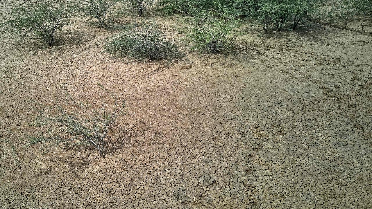
The WMO said El Nino was already affecting some regions, including Central America, where drought has harmed crops and wildlife. The phenomenon also compounds the effects of human-driven climate change, the agency said.
- The United Nations weather agency expects El Nino to intensify before peaking in December, potentially becoming one of the strongest since 1950.
- The World Meteorological Organization (WMO) forecasts above-average global temperatures and altered rainfall patterns due to El Nino, increasing drought and flood risks.
- Sea surface temperatures in the central and eastern equatorial Pacific Ocean are predicted to reach around 3.7 degrees Celsius above normal between October and December, surpassing the record 2.6 degrees from 2015-2016.
- The WMO stated El Nino is "firmly established and strengthening rapidly," with a near 100% chance of persisting through February 2027.
- El Nino is already impacting regions like Central America by causing drought, and it amplifies the effects of human-driven climate change.